What Is GIS?
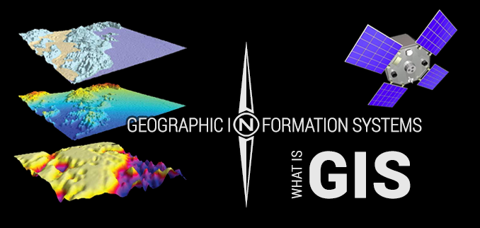
Geographic Information Systems, abbreviated GIS, is a means of capturing data as it relates to geospatial information. This data can later be analyzed and manipulated. Explained less academically, GIS is a process of storing data of some kind – survey responses, landmass information, demographics, etc – on a digitized map as the data relates to a specific locations on that map.
So, for instance, if you conduct an exit poll survey during an election, you can store the data on a map at the exact point where it was collected. This data can the later be cross-referenced with geospatial information from other exit polls to create maps of voter behavior. Brianne Gilbert, Associate Director of LMU's Center for the Study of Los Angeles, has done just this to collect information on how racially and ethnically homogenous neighborhoods create voting habits.
How does / can LMU use GIS?
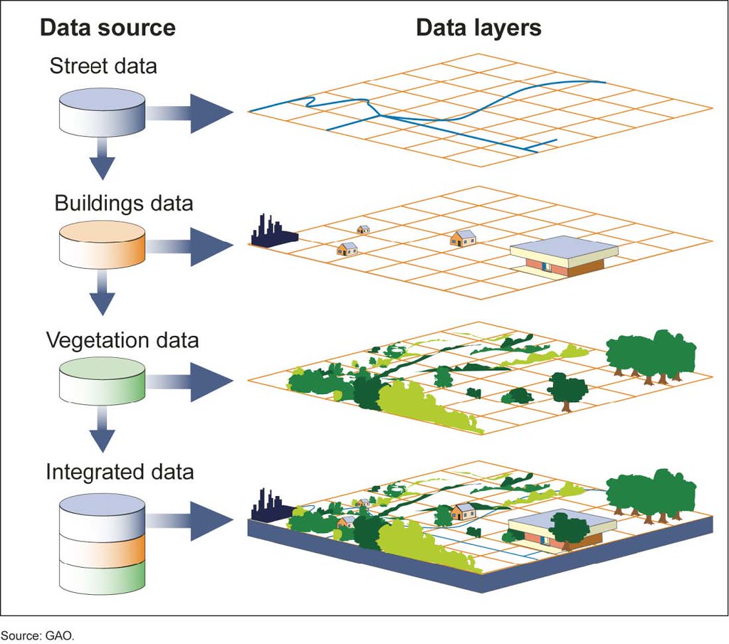
The Center for the Study of Los Angeles uses GIS to collect geospatial data on the city and its inhabitants. This data can then be analyzed to advance understanding of the relationship between the city's landscape and its human population.
Digital Humanities librarian Melanie Hubbard used GIS in a course on urban environments. She taught students how to use maps and data collection to investigate issues important to them. For their final projects, students used mapping to identify food deserts, then wrote a proposal to either Ralph's or Trader Joe's to open a store in that area.
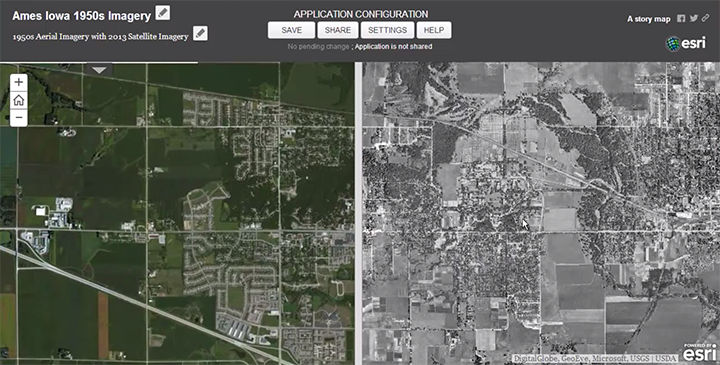
Through his presentations, Joseph Kerski showed attendees many ways in which GIS might be used at LMU. Some common applications for GIS software include creating historical maps with information embedded at pins along a route, such as a map of the Oregon Trail, and generating two images of the same place that swipe across one another to reveals changes over time, such as Santa Monica Boulevard in 1922 and 2012.
Sample projects created using ArcGIS:
- London's Lost River: the Tyburn
- Camera and Locomotive: Two Tracks Across the Continent
- Restoring a Species: Northern Bobwhite Quail
- The Two Koreas
- American's Most Endangered Species
- Cambridge Commemorates WWI
- California Drought: 2011 - 2017
- Human Reach Atlas
- China: Then and Now
Where can I get/use GIS software?
LMU has a limited site license with ESRI, the company behind ArcGIS and other such products. Faculty and staff can contact the ITS Service Desk for ESRI access.
Alternatives for current LMU Students: